


 The Mississippi River is the dominant physical attribute of the Quad Cities area. Serving as the boundary between Illinois and Iowa, the river has been a major factor in the growth and economic development in the region.
The word Mississippi is thought to be a combination of Chippewa words meaning “Great River” and “Great Water” and was first written “Michi Sepe." The river is 2,340 miles long, from northwestern Minnesota to the Gulf of Mexico, and drains an area of 1,247,300 square miles.
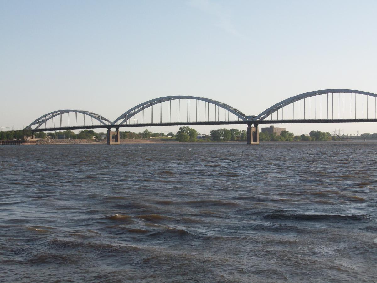
The North to South flow of the Mississippi River is interrupted temporarily in the Quad Cites as it takes a turn to the west. While this change of direction can be a source of confusion when trying to navigate the Quad Cities, four bridges are available to connect state to state. A good map and time spent in the area will help ease the confusion and increase admiration for this natural resource.
As the river winds through the Quad Cities, most of its banks are open and provide dynamic views and effortless access for boating and water recreation. In 1907, the Moline Lock was completed to provide easier access around the Rock Island Rapids. In addition to opening the river to many tugboats and barges, the locks and dams help keep the river from freezing over. The wooded hills and bluffs surrounding the river have created a natural habitat for one of the largest concentrations of bald eagles in the winter months.
The Rock River flows into the Mississippi River in the Quad Cities area which multiplies the areas and options for water recreation, hunting and fishing. The rivers and their connected bays, sloughs, streams and flood plains are alive with plant and wildlife. Areas near the rivers periodically flood during times of heavy rain or winter thaw providing a natural renewable environment. Each season is a changing panorama of color, scenery, and options for the senses.